Sale!
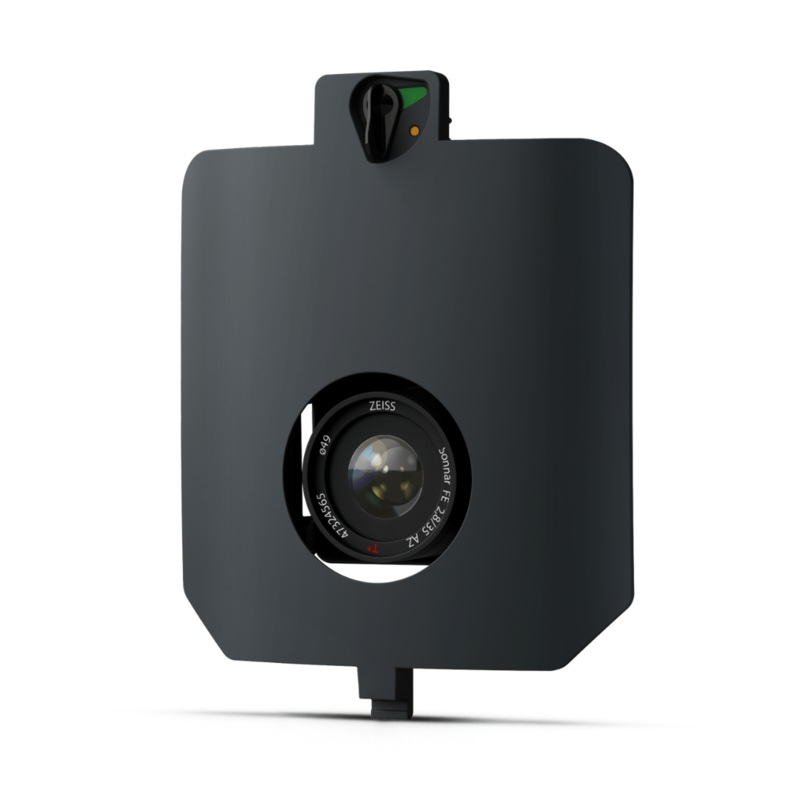
WingtraRAY SURVEY61 Payload
Original price was: $12,900.00.$149.00Current price is: $149.00.
Description
The WingtraRAY SURVEY61 Payload combines a 61 MP full-frame sensor with a low-distortion 35 mm lens, enabling high-precision mapping down to 0.5 cm / 0.2 in GSD. Capture up to 310 ha / 770 ac per flight at 400 ft with survey-grade accuracyideal for urban planning, construction monitoring, and large-scale topographic projects.
Features
- Survey-grade accuracy: horizontal / vertical RMS 3 cm (0.1 ft) via PPK, no GCPs.
- High resolution: nadir 61 MP sensor achieves 0.5 cm/px for detailed as-builts and BIM.
- Large coverage: map up to 770 ac in one sortie at 1.3 cm/px.
- Seamless workflow: plan, fly, and process in WingtraCLOUD for same-day orthos & DSMs.
- Quick-swap design: tool-less mount lets crews change payloads in seconds.
High Quality, Swappable and Durable
- Unwavering aerial image quality:Thanks to their heavy payload capacity, the Wingtra drones carry the highest quality sensors on the market.
- Keep a lean fleet:Effortlessly switch between sensors, including high-resolution RGB cameras, multispectral sensors and advanced LIDAR, on the same drone platform.
- Protected from landing shock:Thanks to the smooth vertical landing, your high-quality sensors are always protected, even in rough environments, ensuring a longer lifespan.
Applications
- Mining and Metals:Ensure accurate exploration and effective reclamation strategies with precise terrain mapping.
- Construction and Infrastructure:Ensure project feasibility and optimal design with detailed greenfield surveys and precision earthwork planning.
- Urban Planning and Land Management:Drive informed planning and sustainable development with comprehensive greenfield surveys.
- Environmental Monitoring:Monitor environmental changes and simulate floods for more effective ecological management and planning.
WingtraRAY SURVEY61 Payload – Highest Quality Photogrammetry with Survey-Grade Accuracy
Compatibility
WingtraRAY
In the Box
1 – SURVEY 61 Payload including mount for WingtraRAY
1 – Storage device
Specifications
| Sensor | 61 MP full-frame, focal-plane shutter |
| Lens / focal length | 35 mm (1.38 in) nadir |
| GSD @ 400 ft (120 m) | 1.3 cm/px (0.51 in/px) |
| Lowest GSD | 0.5 cm/px (0.20 in/px) @ 150 ft (46 m) |
| Max coverage @ 400 ft | 310 ha (770 ac) 90 % frontal overlap |
| Max coverage @ lowest GSD | 120 ha (300 ac) |
| Accuracy (PPK, no GCPs) | 3 cm / 0.1 ft RMS (X, Y, Z) |
| Payload weight (incl. mount) | 585 g (1.29 lb) |
| Pixel dimensions | 9 504 6 336 |
| Minimal trigger time | 0.4 s Min. trigger distance 8 m (26 ft) |
| Coverage assumptions | 60 % side-overlap, calm conditions |
Related products
-
Sale!

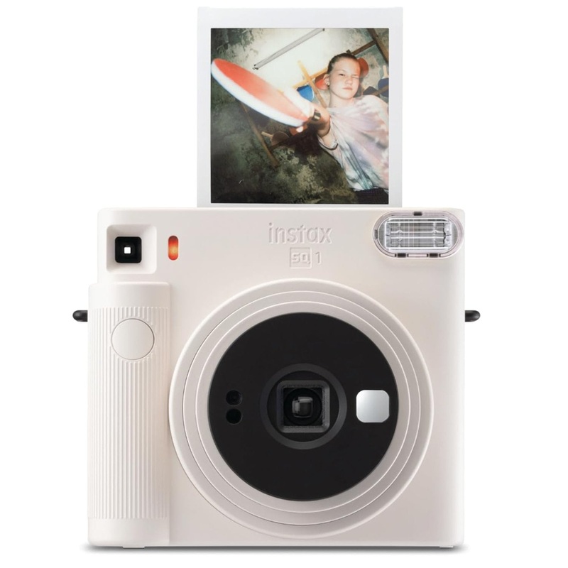
Fujifilm Instax Square SQ1 Instant Camera – Chalk White with Film and Case
Original price was: $149.99.$75.00Current price is: $75.00. Add to cart -
Sale!
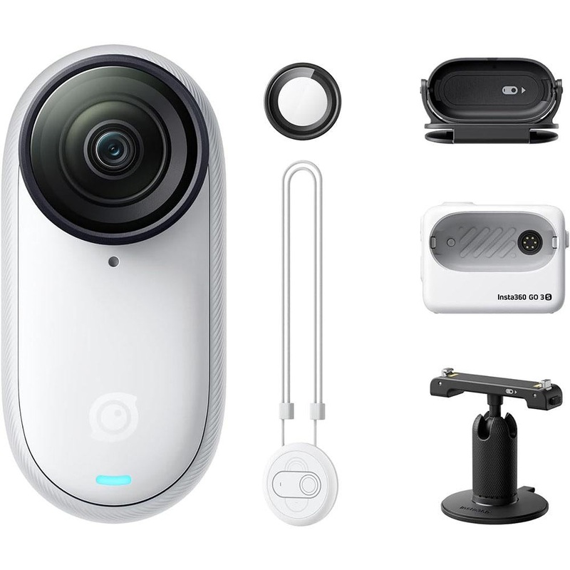
Insta360 GO 3S (128GB; White) Waterproof Tiny Mighty 4K Action Camera – Open Box
Original price was: $322.00.$149.00Current price is: $149.00. Add to cart -
Sale!
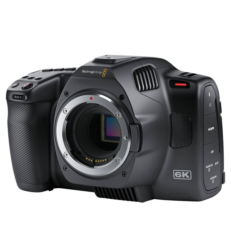
Blackmagic Design Pocket Cinema Camera 6K G2
Original price was: $1,646.00.$147.00Current price is: $147.00. Add to cart -
Sale!
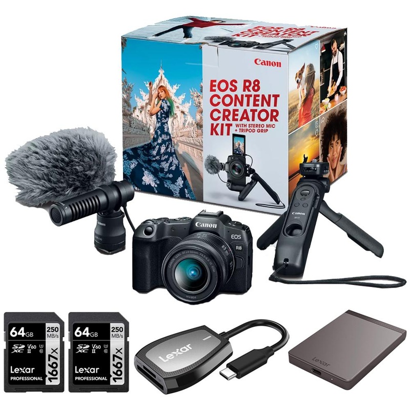
Canon EOS R8 Camera Content Creator Kit + 1TB Portable SSD + 2x 64GB Card + Reader
Original price was: $1,499.00.$148.00Current price is: $148.00. Add to cart
Reviews
There are no reviews yet.